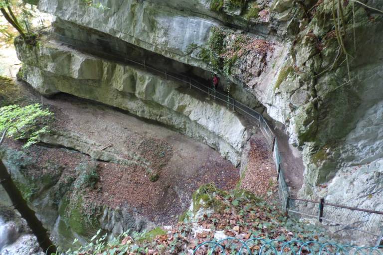
A pretty and varied walk with undergrowth, meadows and small villages, with the Angon waterfall as a bonus and superb views of the lake, the Tournette and the Dents de Lanfon.
The path is very well signposted, just follow the signs at each intersection. At the exit of Talloires, take the road on the left that goes into Angon; just after a bridge, there is a small car park on the left.
The path starts just to the left of the car park (on the Talloires side) and runs along a tarmac road for about 10 metres, and when you come out of the wood you come to a meadow which you just have to cross straight on (uphill), to the left of a house and then to a small road.
(1) Turn left and continue on the road for about 300m (direction Cascade d'Angon). Then take the carriage road on the left. Just after entering the forest, leave the main path (which goes directly to the waterfall) and turn right (direction Vérel), on a small path which goes straight through the meadow and eventually joins the small road through Vérel.
(2) When the road joins the main road to La Forclaz, take the path on the left (direction Cascade d'Angon). Go straight on at the next junction and then left at the next one (a path with a barrier to prevent bikes from passing) to go to the waterfall.
(3) Retrace your steps to the previous junction and continue left to go back down to Angon. Once in Angon, turn left to return to the car park.
By bus 🚍
Line 20 (timetable here) Annecy - Talloires-Montmin from Annecy train and bus station.
Free Mobil'ete shuttle during high season (Informations here)
Bus Stop "Angon", 200m away
By boat ⛴
Boat Shuttle during high season (More details here). "Angon" Boat Stop nearby
By bike 🚴♀️
Close to the cycling path around the lake
By car 🚗
Paid Parking onsite
By train 🚈
Annecy Train Station: 13km
Albertville Train Station: 32 km
By plane ✈️
Geneva Airport (GVA): 1h / 60km
Lyon Airport (LYS): 1h35 / 140km


